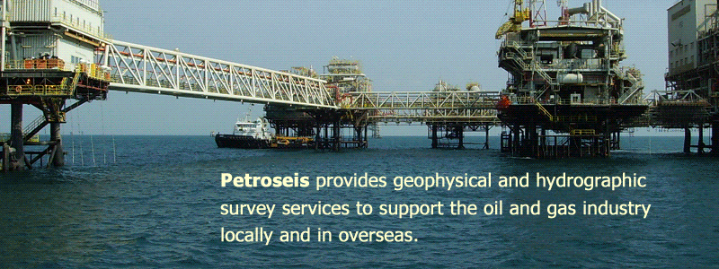
Petroseis Sdn. Bhd. is based in Malaysia and operates throughout the South East Asia. We provide geophysical, hydrographic, and geotechnical survey services to Oil and Gas industries as well as marine and coastal construction projects. |
|
Petroseis is formed by a group of highly skilled professionals with vast experience in the marine geophysical and hydrographic survey. Our management and operation personnel are very knowledgeable about all methods and techniques in the geophysical survey industry, which include shallow reflection and refraction seismic, side scan sonar imaging, multi-beam echo sounding, gravity and magnetic survey. We also have extensive working experience in marine 2D seismic surveys. At Petroseis, our working experiences extend from shallow water deltaic environment to beyond the continental shelf. At Petroseis, we are confident that the experience and technical knowledge that we have gathered through all the projects that we have handled for different clients in different countries, has equipped us with the invaluable knowledge that will benefit our clients in the coming projects. We understand that all projects are unique, and we believe in providing the best solutions to meet the survey objectives in the most cost effective and safest manner. |
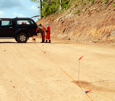
Ground Magnetic Exploration Survey
Petroseis has successfully conducted numerous iron ore exploration surveys in Malaysia, especially in Pahang, Kelantan and Kedah. We have successfully identify potential ore bodies for our clients in the surveys conducted. Our knowledge and experience has benefited our clients in selecting the right locations to mine. |
|
PetroSeis delivers the following services:
|
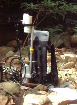
2D Electrical Resistivity Survey Electrical Resistivity Survey is an effective geophysical survey method to map the subsurface profile along a proposed line. It's applications include ore bodies mapping, groundwater exploration, stratigraphy studies and etc. Petroseis conducts electrical resistivity survey using an ABEM Terrameter SAS4000 with a 400m cable, which will acquire cross profile with a maximum penetration depth of 80m.
|
|
|
Contact us: Tel: +603 51319899 For any enquiry, please send email to info2022@petroseis.asia PETROSEIS © ALL RIGHTS RESERVED Home Geophysical Survey Bathymetry Survey Geoelectric Survey Magnetic Survey Contact Us |
||
![]()